La Roque-Gageac: between cliff and Dordogne
- Local name
- La Roque-Gageac
- Type
- Historic riverside village and cliff fortification
- Continent
- Europe
- Country
- France
- Region
- Dordogne
- Regional subdivision
- Dordogne department; Périgord Noir
- Historical record
- Medieval fortified settlement; river commerce; rockfall 1957; later stabilisation and restoration
- Date
- April 2025
- Photographer
- Héctor Godes
- Published
- August 3, 2025
- Reviewed
- November 7, 2026
- Coordinates
- 44.8250, 1.1843
- More
- Wikipedia
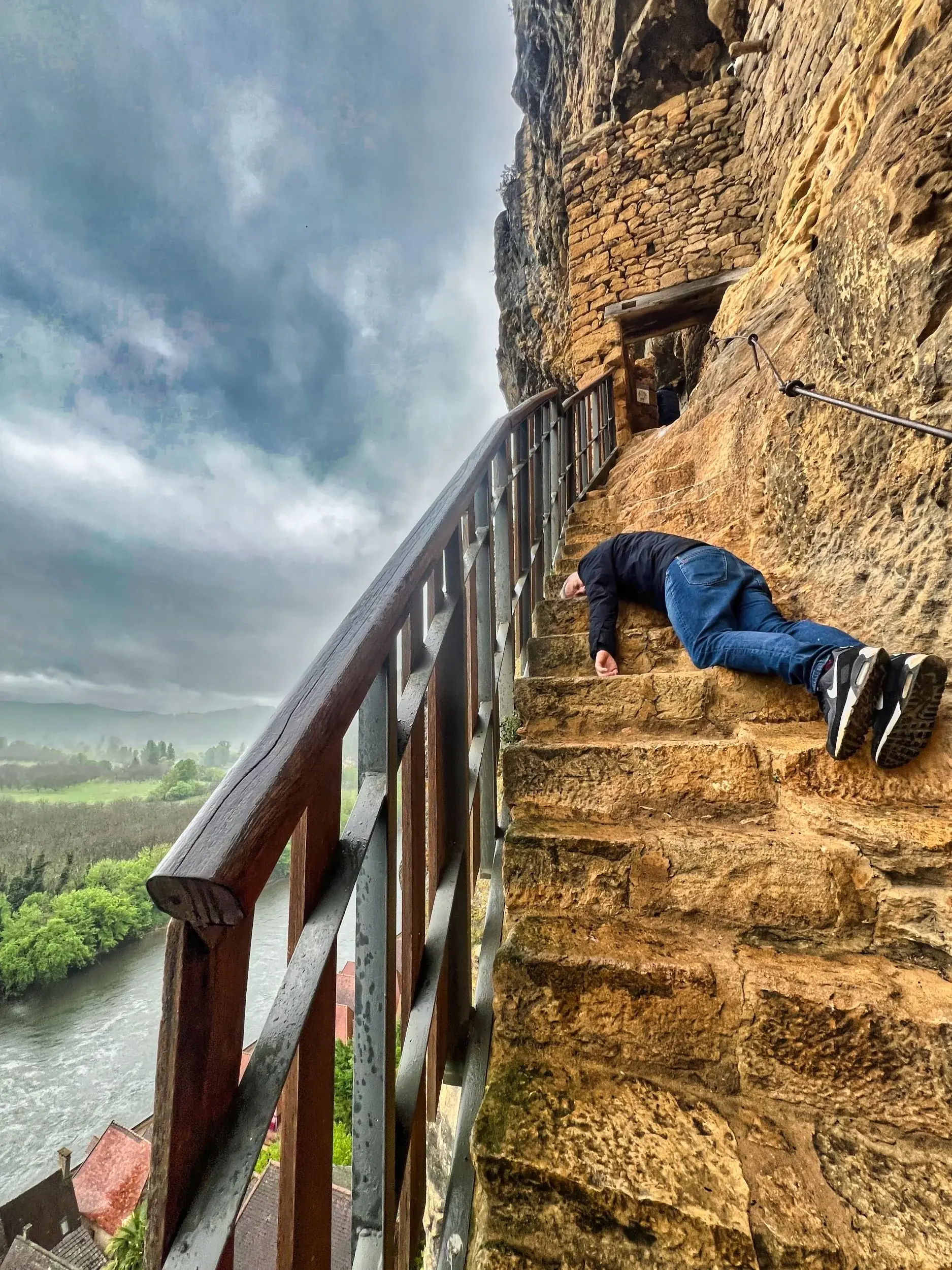
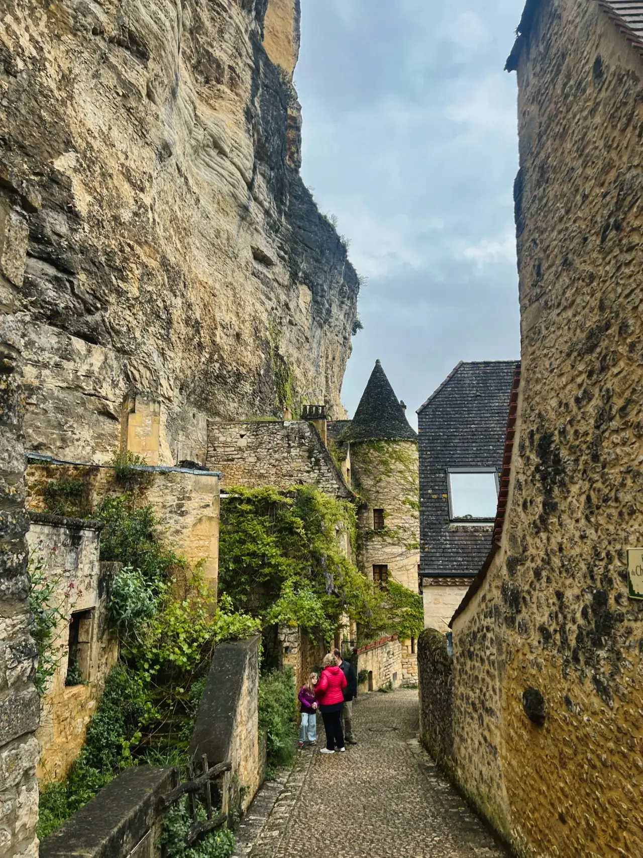
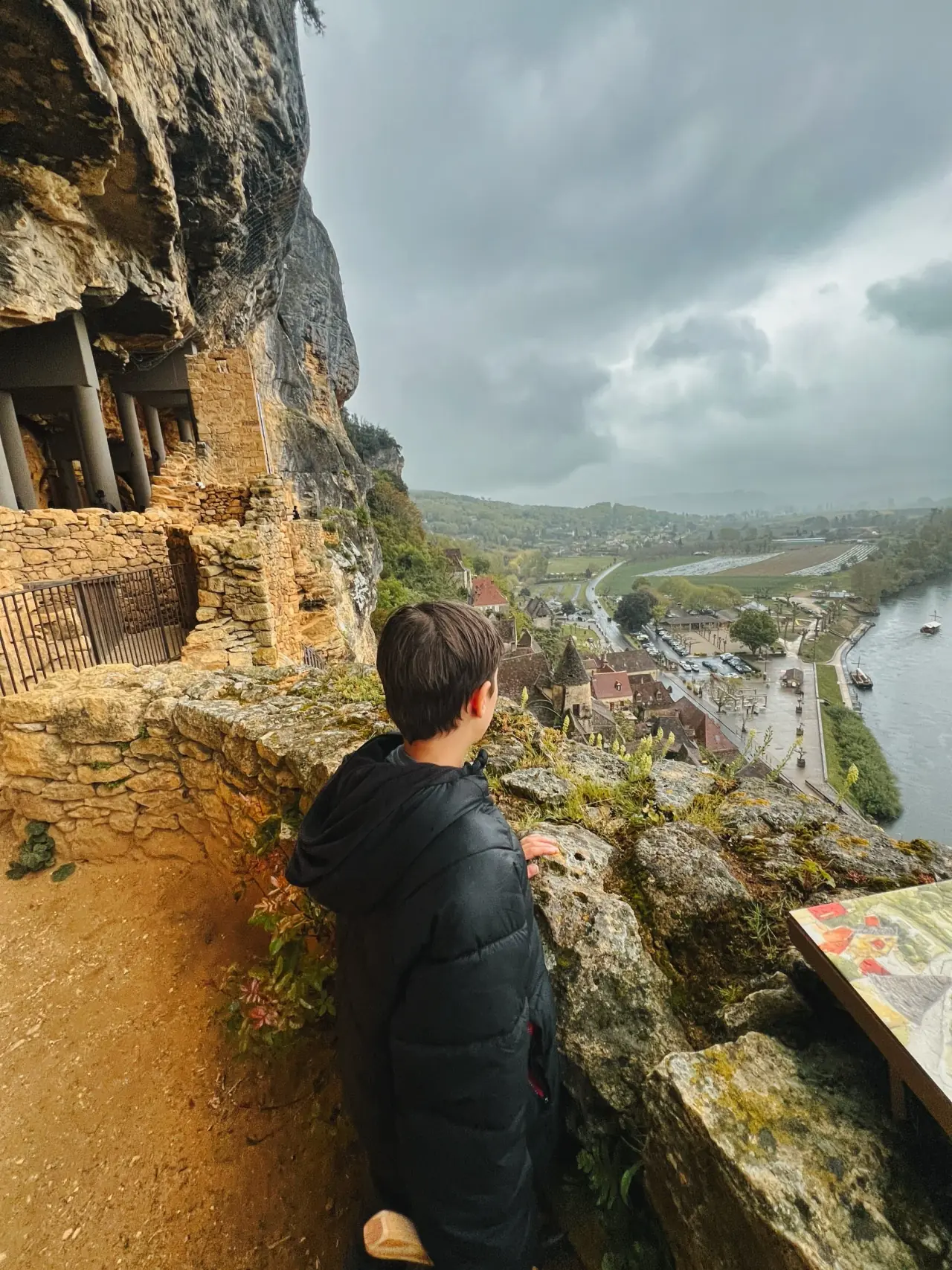
La Roque-Gageac occupies a narrow strip between the Dordogne and a limestone cliff in the Périgord Noir. Stone houses, passages and stairways adapt to the limited ground available. The river and the rock have shaped both its architecture and its economy. S1
A fortified settlement
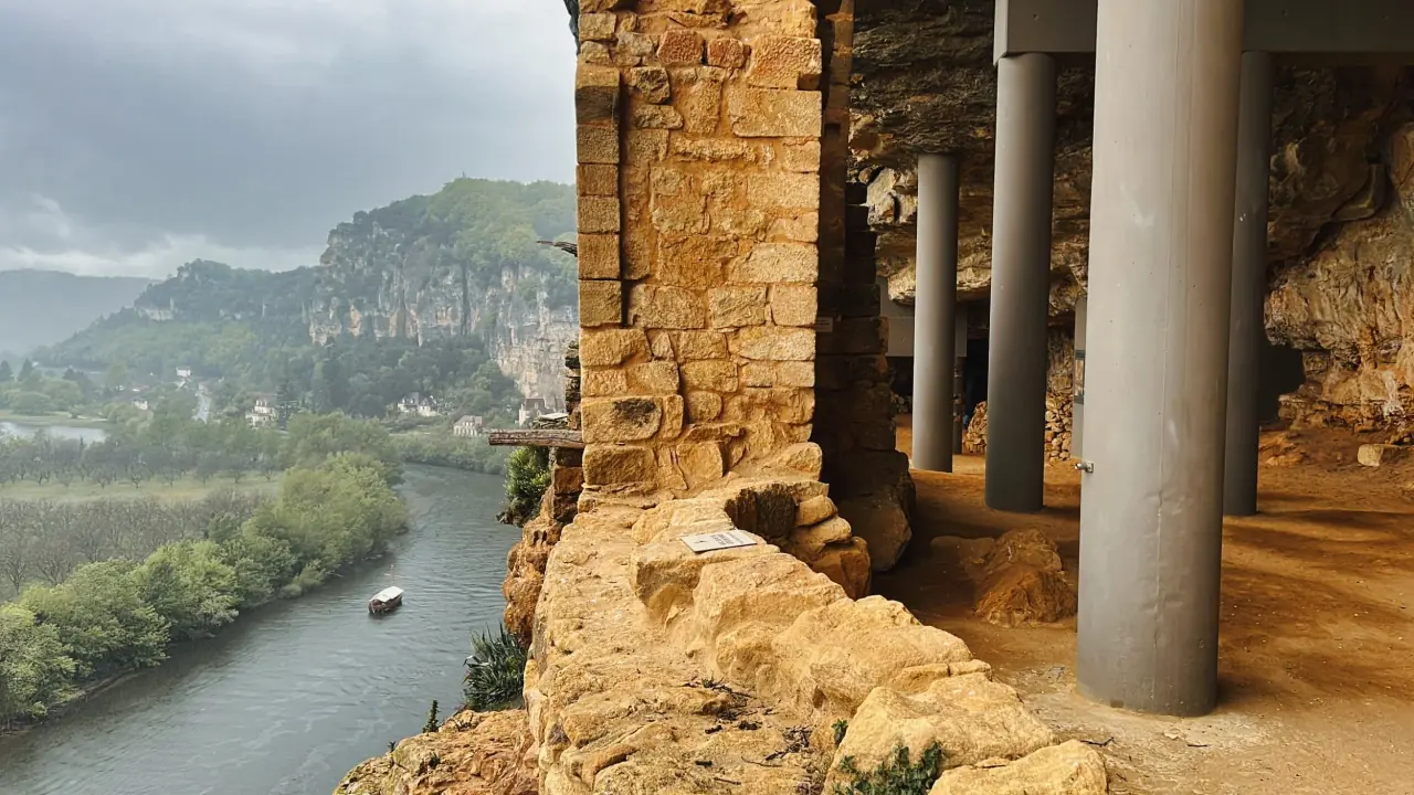
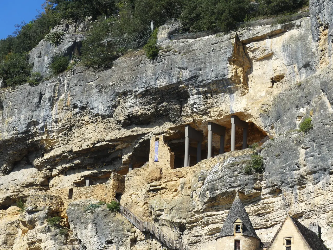
The upper village developed as a fortified enclosure. The municipal history links its seigneurial castle to the abbot and later the bishop of Sarlat. Above the settlement, the cliff fort uses a natural recess: rock forms its back and ceiling, while masonry closes the exposed side. It is a medieval defensive position, not a prehistoric dwelling. S1S2
The river port
Gabarres, flat-bottomed boats, carried timber, barrels, hemp, walnut oil and wine along the Dordogne towards Bordeaux. Landing places and trade connected the village to producers and markets beyond the valley. Roads and railways contributed to the decline of this river economy during the nineteenth century. S1
Living beneath the rock
On 17 January 1957, a rockfall destroyed part of the village and killed three people. Another collapse affected the fort in 2010. Modern supporting columns belong to subsequent stabilisation work, bringing conservation engineering into the historic enclosure. S1S2
The sixteenth-century Manoir de Tarde forms part of the village’s architectural history. The nearby Château de la Malartrie, in Vézac, took its present form in the early twentieth century. S1
Frequently asked questions
What does troglodytic mean here?
The fort occupies a shelter in the cliff; the term describes its relationship with the rock.
Are the supporting columns medieval?
No. They are modern stabilisation structures.
Sources
More in France