Timanfaya National Park
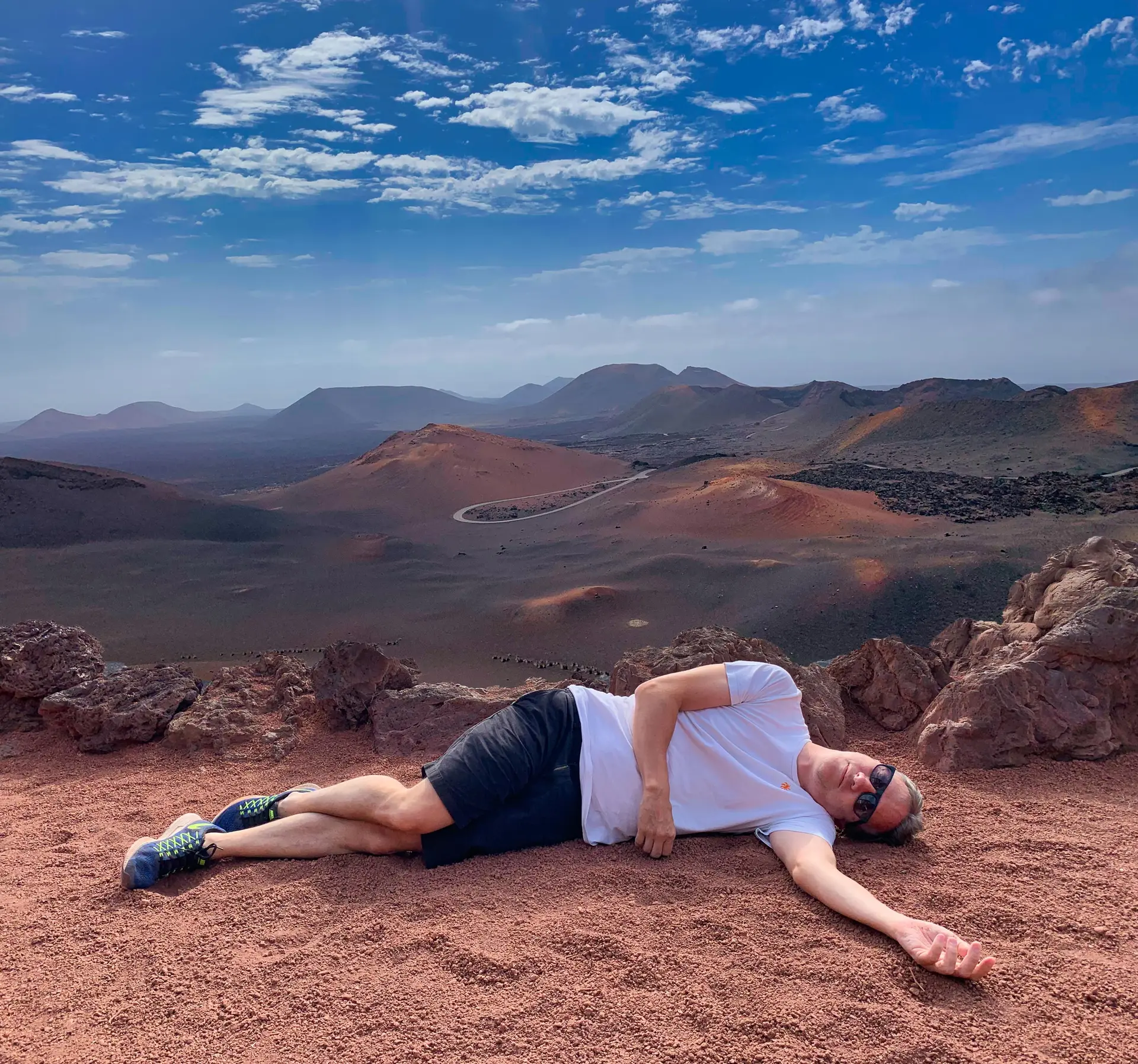
- Situation
- Lanzarote, Espagne
- Continent
- Europe
- Date
- Août 2019
- Photographe
- Merche Mateo
- Coordonnées
- 29.0061, -13.7533
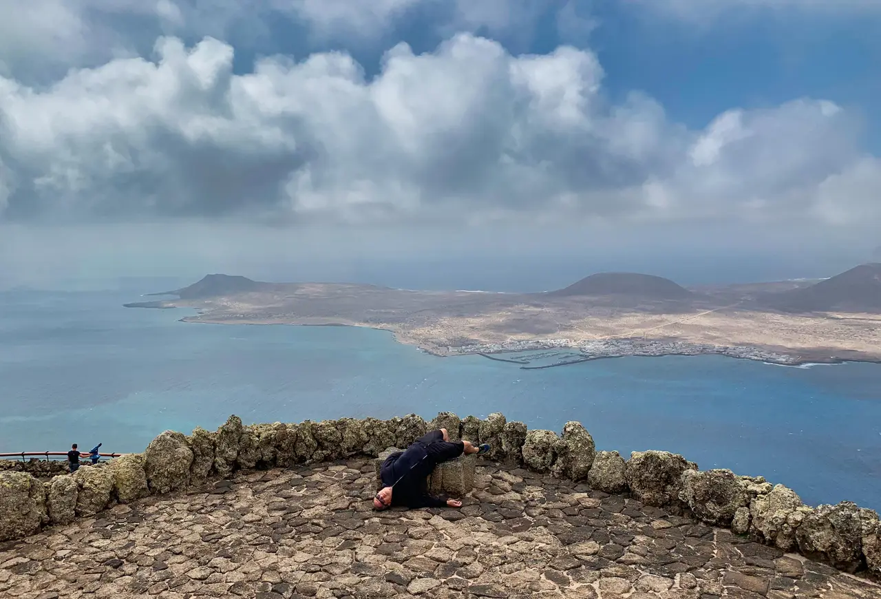
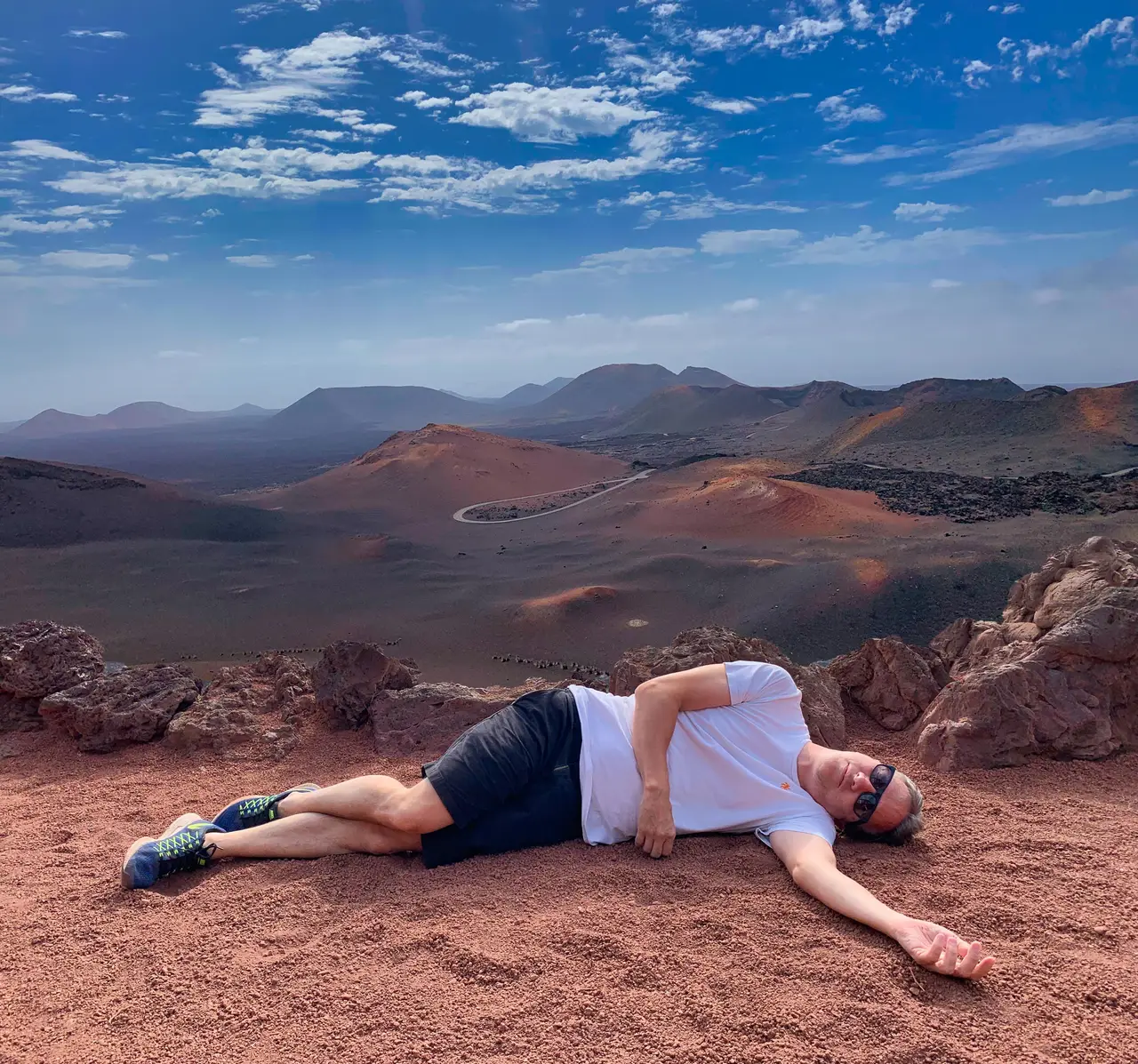
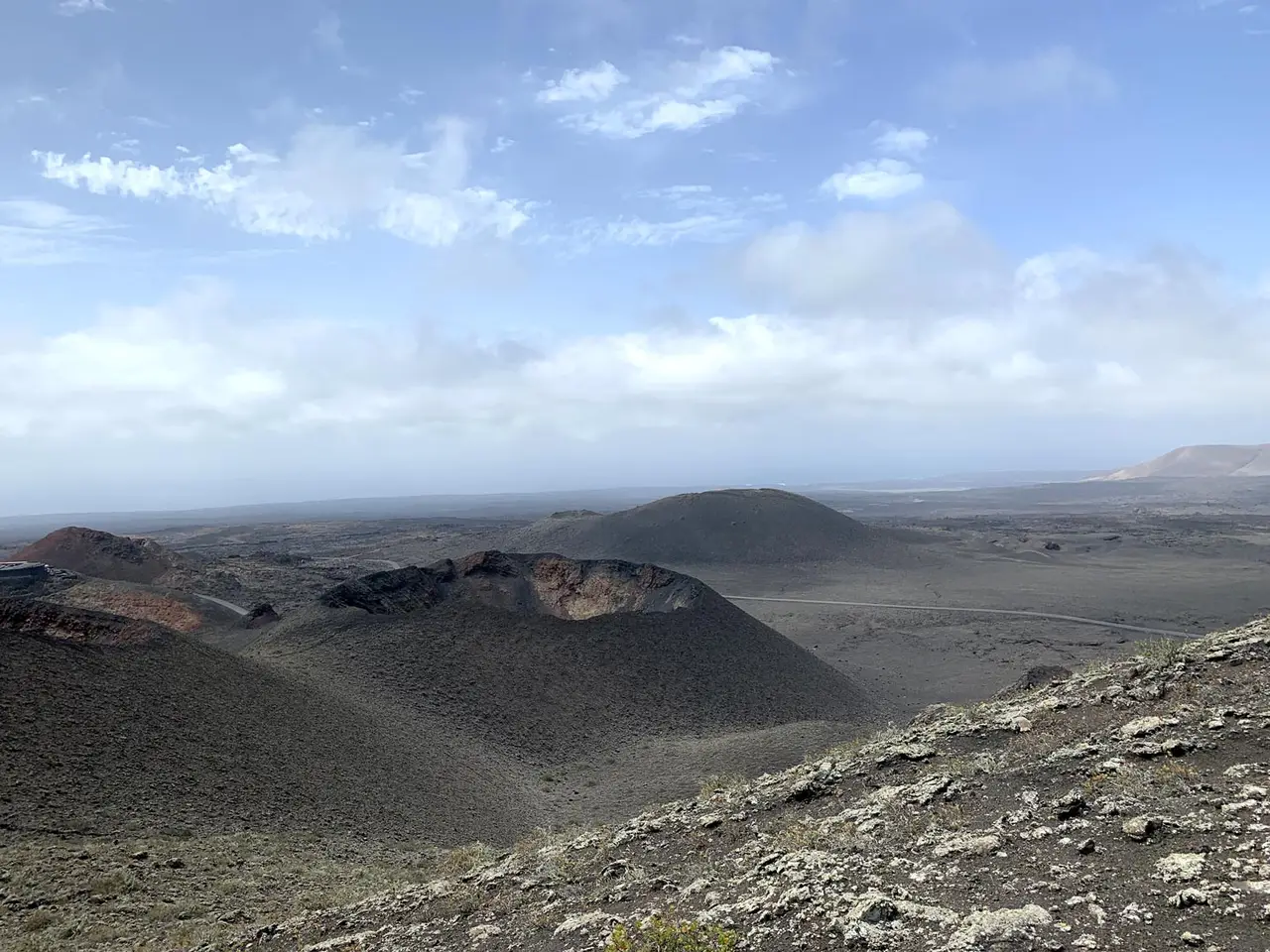
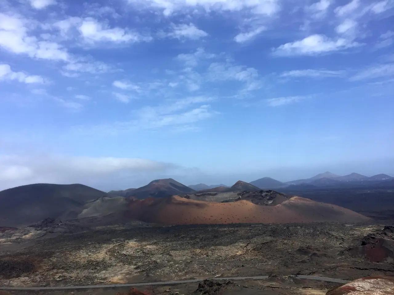
Timanfaya National Park is a Spanish national park in the southwestern part of the island of Lanzarote, Canary Islands. It covers parts of the municipalities Tinajo and Yaiza. The area is 51.07 square kilometres.
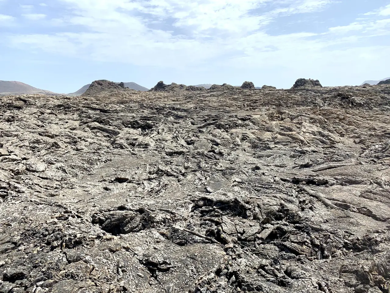
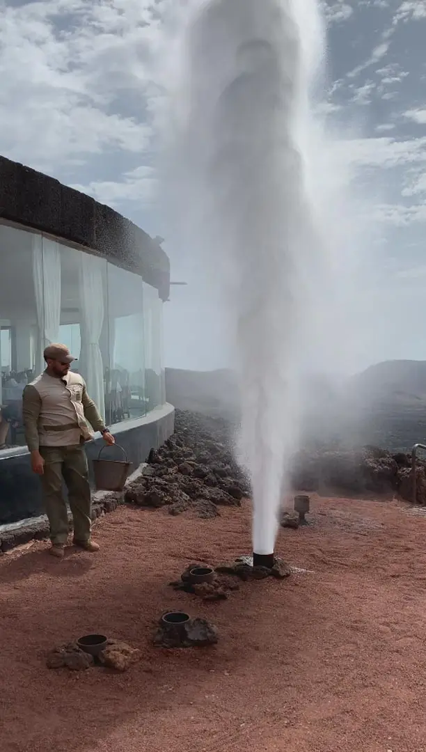
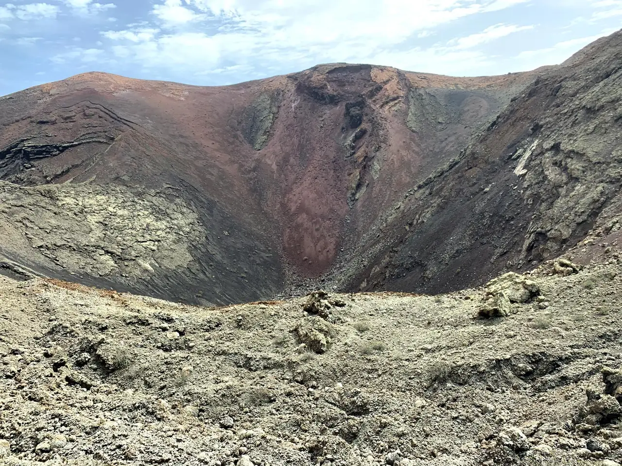
The parkland is entirely made up of volcanic soil. The greatest recorded eruptions occurred between 1730 and 1736. The volcanic activity continues as the surface temperature in the core ranges from 100 to 600 °C (212 to 1,112 °F) at the depth of 13 metres, which is demonstrated by pouring water into the ground, resulting in a geyser of steam which is an attraction for tourists. There is only one active volcano, Timanfaya volcano after which the park is named.
Autres lieux : Espagne