Agafay Desert: a rocky landscape near Marrakech
- Local name
- Agafay
- Type
- Stony desert landscape
- Continent
- Africa
- Country
- Morocco
- Region
- Marrakech-Safi
- Location
- Near Marrakech, in the Marrakech-Safi region of Morocco.
- Historical record
- Natural landscape with continuing human use; no single construction date
- Date
- April 2022
- Photographer
- Gerard Lazcano
- Published
- July 22, 2025
- Reviewed
- November 8, 2026
- Coordinates
- 31.4871, -8.2069
- More
- Wikipedia
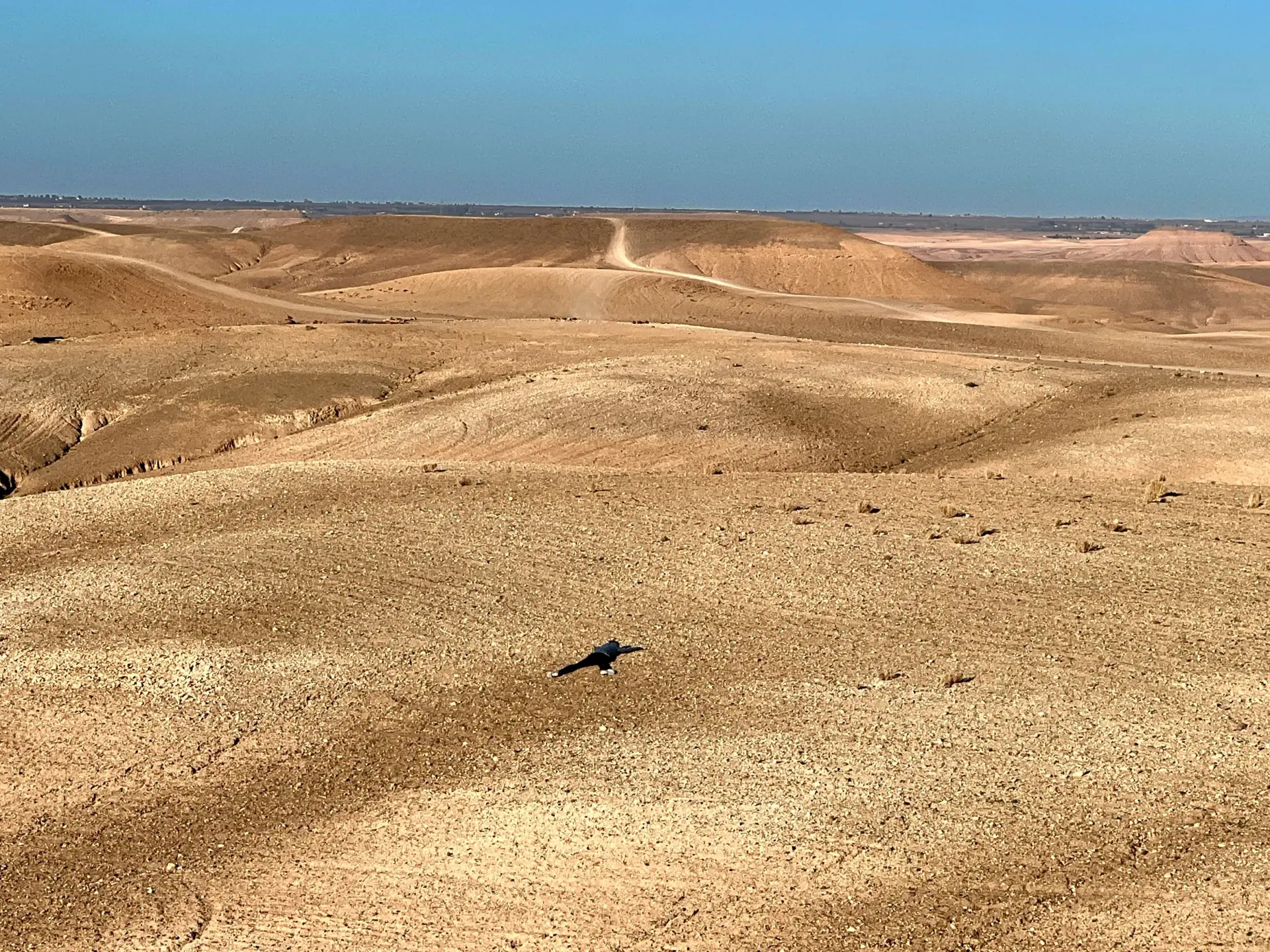
Agafay stretches across an arid landscape near Marrakech, where rounded hills, shallow valleys and stony ground take the place of towering sand dunes. Its character comes from the exposed relief and the broad horizon, rather than from the image of the Sahara’s great sand seas.
The Marrakech Regional Tourism Council places it roughly 40 kilometres from the city. The distance depends on the part of this extensive area being considered. S1
Between Marrakech and the foothills
Agafay is commonly described as a desert roughly forty kilometres from Marrakech. A national tourism publication gives an estimate closer to thirty kilometres, reflecting how distance changes with the point of departure and destination. Neither figure defines a formal perimeter: Agafay names a wider landscape, not a single monument or fenced attraction. S1S2
The route from Marrakech also changes the scale through which the place is understood. The city is dense, its historic centre structured by streets and walls; farther out, buildings thin and roads cross open ground. The transition is not a line at which urban life suddenly ends. It is a gradual shift among settlements, cultivated plots, tracks and uncultivated slopes.
The regional setting matters because the desert label can make Agafay sound remote from everyday life. In practice, it is close to a major city and connected to the wider Marrakech-Safi region. Official descriptions present it alongside the Atlas and other rural landscapes, while visitors often treat it as a short excursion. Both views describe different scales of the same place.
A desert without Sahara dunes
The word “desert” often calls to mind the Sahara’s high dunes. Agafay is described instead through stony hills and pale, open ground. The Moroccan National Tourist Office contrasts its rocky terrain with the sand dunes farther south, making clear that the name does not promise a miniature Erg Chebbi beside Marrakech. S2
A landscape can be desert-like without reproducing one standard image of desert. The term here helps frame aridity and exposure, while the ground itself supplies the evidence: rounded relief, sparse cover and broad gaps between built structures. Those features distinguish Agafay from a dune sea, but they do not justify inventing a geological origin or applying a technical classification without a local study.
Hills and dry channels
Ridges divide the terrain into slopes and hollows. Sparse vegetation leaves much of the surface exposed, making small changes in gradient particularly noticeable. Channels cross the hillsides and collect runoff when rain reaches ground that otherwise appears dry.
Aridity does not mean that water plays no role in shaping the land. Runoff and gravity move material down the slopes, while loose stones and shallow drainage lines give the surface its uneven texture.
The channels are easiest to read as temporary paths for water rather than as permanent streams. After rain, runoff follows the lowest ground and may leave deposits or small marks on a slope; in dry conditions, the same line can appear almost empty. The surface therefore records brief changes that a single visit or photograph cannot capture.
This contrast between visible dryness and occasional movement is typical of how arid terrain is read. A bare channel is not proof that water never passes there. It is a form left by processes that operate intermittently, and it helps explain why the hills are divided into shallow basins and narrow routes.
Water in a semi-arid region
Water is less visible here than stone, but it remains central to understanding the wider landscape. A peer-reviewed study examines groundwater and agricultural use in the semi-arid Western Haouz, including irrigated citrus plots in the Agafay area. It describes pressure on groundwater and the relationship between irrigation, water quality and soil. Its findings concern the study area, not every camp or parcel in the desert. S3
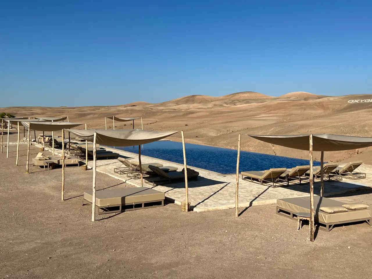
This distinction matters when reading contemporary facilities. A pool or watered garden is a designed use of water, not evidence that the surrounding terrain is naturally abundant in it. The research gives a regional context for asking where water comes from and how it is managed, while avoiding unsupported claims about the supply of any particular business.
Tourism publications also describe a small oasis among Agafay’s dry landscapes. Such a feature adds variety to the setting, but it should not stand for the whole region. In a semi-arid environment, vegetation and water can gather in particular places while nearby slopes remain exposed. The contrast between these conditions is part of the landscape, not a contradiction of it. S1
Light and distance
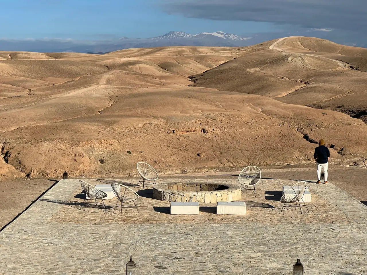
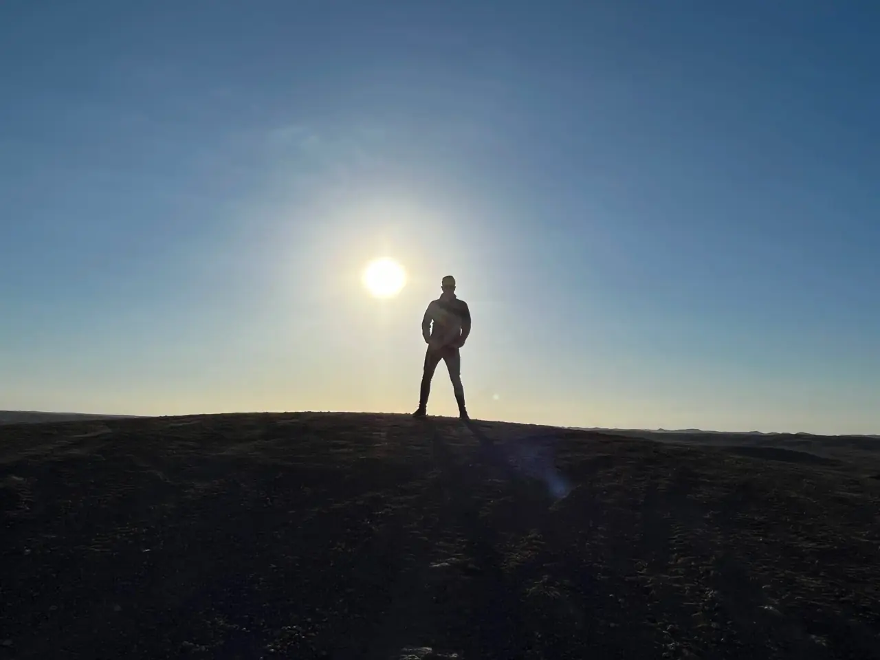
The relief changes in appearance throughout the day. Low sunlight casts longer shadows across the hollows; stronger overhead light flattens contrasts and brings the pale ground into prominence. Distant mountains can become part of the horizon when atmospheric conditions allow.
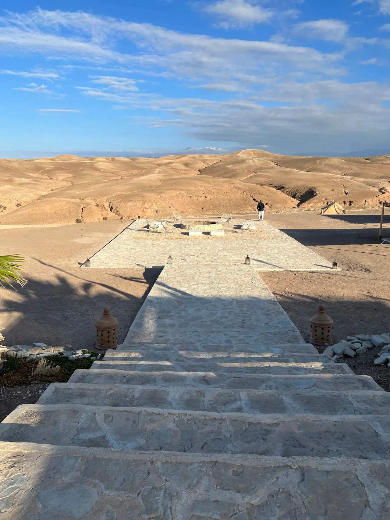
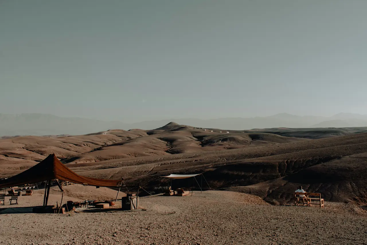
Terraces and paths establish particular viewpoints. Steps connect different levels, while shaded seating provides a fixed place from which to look across the hills. These structures belong to the contemporary use of the landscape.
The broad horizon makes distance unusually legible. With few tall structures interrupting the view, the eye follows successive ridges and notices how the nearest slope differs in colour and sharpness from the hills behind it. The effect is not simply “emptiness”: it is a sequence of foreground, middle distance and horizon, each shaped by relief and light.
On clear days, the High Atlas can form a distant backdrop to the rocky terrain. The mountains and the lower hills belong to one regional view, but they are not the same environment. The contrast between exposed ground nearby and high peaks farther away helps locate Agafay within the transition between Marrakech’s plains and the Atlas landscape. S2
A landscape in use
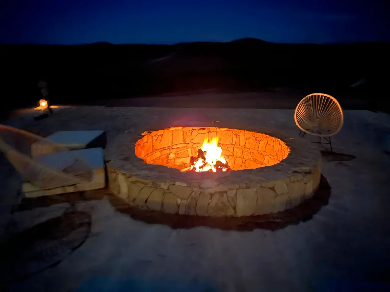
Agafay is also a setting for camps and tourism facilities. Pools, built hearths and fabric shelters bring water, gathering spaces and shade into an exposed environment. They show how hospitality has introduced new uses and infrastructure into the stony terrain.
The contrast between these facilities and the surrounding hills is part of Agafay’s present identity. The landscape combines open ground with deliberately arranged places for staying, moving and meeting.
Agafay is also a lived and worked landscape. The official tourism account refers to nearby Amazigh villages, a reminder that rural settlements and local communities are part of the region’s geography. A visitor-facing description can easily make the area seem empty because it focuses on open hills and camps. That impression leaves out the wider human setting. S1
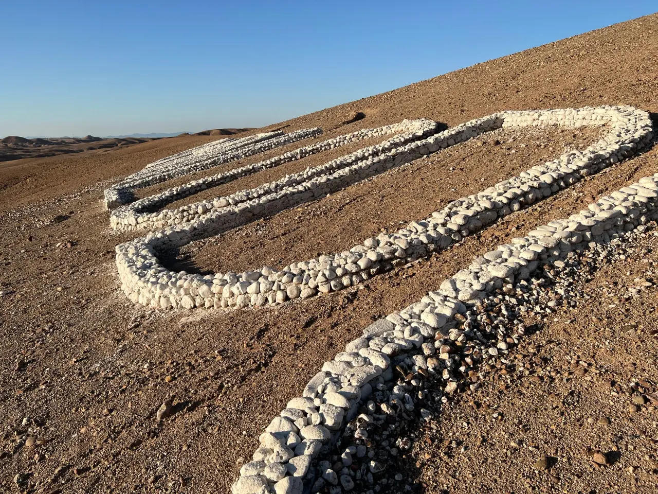
The stone hills have acquired a new layer of use through camps, terraces, hearths and other hospitality facilities. These structures organise places to stop, gather and look across the terrain. Their presence is contemporary, and it changes how particular sites are experienced without changing the broader form of the hills around them.
The contrast between open slopes and built amenities raises a useful question about landscape: what is natural, and what has been arranged for a visitor? A terrace, a path or a pool is not separate from the place; each is a choice about how to occupy an exposed setting. Seeing those choices alongside the surrounding land makes the contemporary Agafay easier to understand.
Agafay’s identity is therefore not reducible to one image. It can be described as a rocky desert near Marrakech, a semi-arid landscape linked to the Western Haouz, and a rural area reshaped by tourism. These descriptions do not compete. Together, they show how a place can be at once a terrain, a region of human activity and a destination given new meaning by the way it is presented.
Frequently asked questions
Is Agafay a sandy desert?
No. Official descriptions emphasise its rocky hills and open, stony ground, unlike the high sand dunes associated with parts of the Sahara. S2
Where is the Agafay Desert?
Why does water matter in Agafay?
A study of the semi-arid Western Haouz examines groundwater and irrigation in the Agafay area, showing why water management matters beyond what is visible on the surface. S3
Sources
More in Morocco